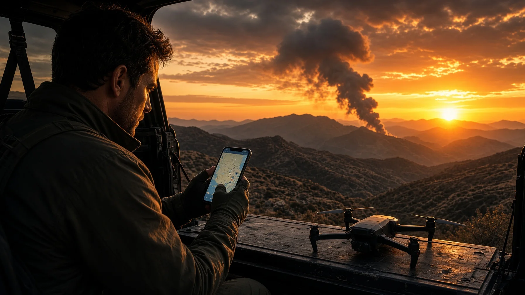
Wildfire smoke makes a dramatic picture. It can also mark one of the worst places to launch a drone without a careful airspace and safety check.
In Alabama, a brush fire or woods fire may bring Forestry Commission crews, volunteer fire departments, law enforcement, helicopters, fixed-wing aircraft, utility crews, and private landowners into the same area. A location that looked quiet ten minutes ago can become an active emergency scene. Airspace restrictions may appear after the fire starts, and even when no Temporary Flight Restriction is posted, a drone can still interfere with response aircraft or create a distraction on the ground.
The practical rule is simple: treat every wildfire as an active aviation and emergency-response environment until reliable information shows otherwise. A legal flight is not automatically a sensible flight.
Start with the Alabama Forestry Commission fire information
The Alabama Forestry Commission maintains an official wildfire map showing reported active, contained, and controlled fires. It also provides current wildfire totals that can be filtered by county and time period.
Those resources are a useful starting point because they help answer three basic questions:
- Is there a reported wildfire near the planned flight area?
- Is the fire listed as active, contained, or controlled?
- Has the situation changed since the pilot first heard about it?
Do not treat a map symbol as a complete operational briefing. A fire can grow, move, flare up, or attract aviation resources before every public display is updated. A contained fire is not necessarily cold, extinguished, or free of aircraft. Use the state map to identify the situation, then continue with aviation checks.
Check FAA Temporary Flight Restrictions every time
The FAA uses Temporary Flight Restrictions, or TFRs, to limit aircraft operations in defined airspace for safety or security. Wildfires are one of the situations that can trigger a TFR.
A TFR is communicated through a NOTAM and defines the affected area, altitude, effective time, controlling agency, and permitted operations. The FAA says drone pilots must check NOTAMs before flight. Active TFRs can be reviewed on the FAA TFR website, and many FAA-approved drone applications also display them.
Do not rely on a screenshot from earlier in the day. Check again immediately before launch. Fire conditions and response plans can change quickly.
When a wildfire TFR is active, ordinary recreational or commercial drone operations are generally not allowed inside it without the authorization described in the restriction. Public-safety, emergency, and certain media missions may sometimes qualify for coordinated access, but that is not an informal exception. The FAA directs eligible operators to coordinate through the controlling agency and, when applicable, the Special Governmental Interest process.
For a normal photo or video flight, the correct response to an active wildfire TFR is to stay out.
No TFR does not mean no emergency aircraft
This is the mistake most likely to catch an otherwise careful pilot.
A wildfire can have helicopters or fixed-wing aircraft working nearby before a TFR is issued, after one expires, or in a situation where no TFR is established. Under Part 107, a remote pilot must always avoid manned aircraft and may not operate carelessly or recklessly. Recreational pilots have the same basic responsibility to give way and keep the operation safe.
Wildfire aircraft often work low, fast, and close to terrain. They may approach from behind a ridge or tree line with little warning. Helicopters may hover, climb vertically, circle a fire, carry buckets, or use nearby water sources. A drone at 200 feet can still be directly in the working altitude of an emergency aircraft.
If firefighting aircraft are visible, audible, reported, or reasonably expected, do not launch. If an aircraft appears after takeoff, descend and land promptly without creating a second hazard.
Stay well outside the emergency scene
Drone safety near a wildfire is not only about airspace. The launch point matters.
Do not block roads, gates, fire lanes, boat ramps, staging areas, utility access, or private driveways. Do not stand where responders must work around you. Do not follow engines or crews to obtain a better angle. Do not cross a closure line or enter private property without permission.
A pilot working from a distant legal launch point can still create a problem if the drone flies toward the smoke column, crews, evacuees, or aircraft. The safest choice is often to document the broader atmosphere from a clearly separated location—or cancel the flight entirely.
Smoke creates its own flight hazards
Smoke can reduce contrast, obscure wires and trees, hide terrain, and make it difficult to judge distance. It can also shift rapidly with wind.
The EPA and U.S. Forest Service AirNow Fire and Smoke Map shows fire locations, smoke plumes, particle-pollution readings, and smoke outlooks where available. It is useful for checking whether smoke is affecting the intended launch area and the direction in which a plume is moving.
A visible satellite-detected plume does not automatically mean dense smoke exists at ground level, and clear air at the launch point does not guarantee clear air along the flight path. Use the map as one input, then evaluate actual local visibility and weather.
Cancel or relocate when:
- the drone may enter visible smoke;
- the remote pilot cannot maintain a clear view of the aircraft;
- smoke obscures terrain, structures, trees, or power lines;
- shifting wind could carry the plume across the operation;
- ash or debris is falling near the launch point;
- emergency activity is increasing.
A camera may see through light haze differently than the human eye, but the pilot's legal and practical visual-line-of-sight responsibility does not disappear.
Check wind, gusts, and fire-weather conditions
Wildfire conditions are often associated with dry air, gusty winds, changing wind direction, and unstable local air movement. Heated terrain and rising smoke can produce turbulence that a ground-level weather reading does not fully show.
Before launch, review current wind, gusts, visibility, and nearby weather alerts. Compare that information with the aircraft manufacturer's operating limits and the pilot's own margin for a safe return.
Do not plan a one-way downwind flight toward a smoke column. A drone that reaches the subject easily may struggle to return against stronger winds at altitude. Keep enough battery reserve to land early if conditions change.
A practical Alabama wildfire preflight sequence
Use this order before any flight in a county with a reported fire or visible smoke:
- Check the Alabama Forestry Commission wildfire map and current totals.
- Check the FAA TFR list and current NOTAM information immediately before launch.
- Review the airspace through an FAA-approved source and obtain any ordinary controlled-airspace authorization that may be required. A LAANC approval does not override a TFR.
- Check AirNow's Fire and Smoke Map for smoke, fire detections, air quality, and plume direction.
- Review local wind, gusts, visibility, and weather alerts.
- Confirm the launch location is lawful and does not interfere with roads, responders, landowners, or closures.
- Scan and listen for helicopters and airplanes before powering up.
- Establish an immediate landing plan if emergency aircraft or response activity appears.
- Cancel when the operational picture is uncertain.
That final step matters. A pilot does not need proof that a collision will occur before deciding not to fly.
Commercial assignments require a real coordination plan
A property owner, news outlet, contractor, insurer, or utility may request imagery after a wildfire. The request itself does not authorize entry into restricted airspace or an emergency scene.
For paid work, document the operational basis for the flight:
- who controls the property and launch location;
- whether public access is closed;
- whether a TFR or other NOTAM applies;
- whether emergency aviation is active;
- who the on-scene contact is;
- what area will be photographed;
- how the drone will remain separated from people and aircraft;
- what conditions will trigger an immediate stop.
If the assignment requires access inside a TFR or direct support of emergency operations, ordinary client permission is not enough. The operator must use the applicable FAA and incident-command authorization process.
What to photograph when a distant flight is appropriate
When there is no restriction, no nearby response aircraft, good visibility, lawful access, and a genuinely safe stand-off location, the most useful images may be the least dramatic ones.
Consider documenting:
- the general direction and extent of a distant smoke plume;
- road access from outside closures;
- broad landscape context;
- post-fire property conditions after emergency operations have ended;
- changes over time from the same safe, permitted viewpoint.
Avoid chasing aircraft, orbiting crews, flying over evacuees, approaching flames, or descending into smoke. The goal is useful context, not the closest possible footage.
The decision standard
Before flying near an Alabama wildfire, ask three questions:
- Is the airspace open for this specific operation right now?
- Is the launch point lawful and separated from the emergency scene?
- Can the flight be completed without adding risk or distraction to responders, aircraft, residents, or the pilot?
A “no,” an uncertain answer, or a rapidly changing situation means the flight should not proceed.
Wildfire footage is replaceable. Emergency airspace is not the place to test a questionable assumption.
FAQs
Can I fly near an Alabama wildfire if there is no TFR?
Possibly, but the absence of a TFR does not confirm that the operation is safe. Emergency aircraft may still be working at low altitude, roads or land may be closed, and smoke may prevent safe visual-line-of-sight operation. Check current fire information, NOTAMs, airspace, weather, and on-scene activity, then stay out if the situation is uncertain.
Does LAANC authorization let me fly inside a wildfire TFR?
No. A normal controlled-airspace authorization does not cancel or override a TFR. The TFR's terms and controlling-agency process govern access to the restricted area.
Where can I see active Alabama wildfires?
Use the Alabama Forestry Commission's official Wildfire Map and Current Wildfire Totals pages. Because conditions can change faster than public displays, also observe local alerts and emergency activity.
What should I do if a firefighting helicopter appears while my drone is airborne?
Give way immediately. Move away from the aircraft's path, descend, and land promptly when that can be done safely. Do not attempt to capture closer footage of the helicopter.
Can a Part 107 pilot fly for a client during a wildfire response?
A Part 107 certificate alone does not authorize flight inside a TFR or an active emergency operation. The pilot must comply with the TFR, coordinate through the controlling authority when eligible, and obtain any required FAA emergency authorization.
SOURCE NOTES
- FAA — Temporary Flight Restrictions: https://www.faa.gov/uas/getting_started/temporary_flight_restrictions
- FAA — UAS in Wildfire Response: https://www.faa.gov/uas/public_safety_gov/uas-wildfire-response
- FAA — Small UAS Regulations, Part 107: https://www.faa.gov/newsroom/small-unmanned-aircraft-systems-uas-regulations-part-107
- FAA — UAS airspace access and TFR guidance: https://www.faa.gov/air_traffic/publications/atpubs/aip_html/part2_enr_section_8.4.html
- Alabama Forestry Commission — Wildfire Map: https://www.forestry.alabama.gov/Pages/Maps/Wildfires.aspx
- Alabama Forestry Commission — Current Wildfire Totals: https://forestry.alabama.gov/pages/fire/totals.aspx
- EPA/USFS — AirNow Fire and Smoke Map: https://fire.airnow.gov/
- AirNow — About the Fire and Smoke Map: https://www.airnow.gov/fasm-v4/about/