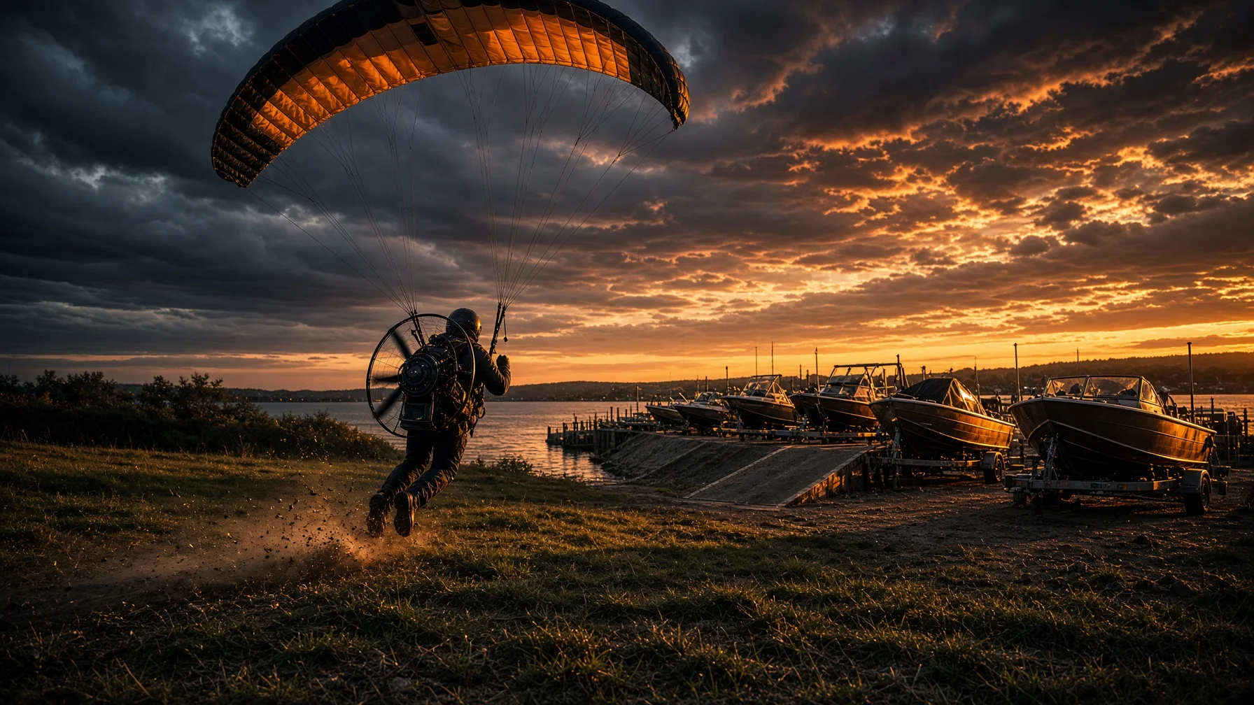
Boat ramps and marinas can be tempting drone launch spots. They often provide open water, broad sightlines, parking, and a clear view of the shoreline. They can also be some of the worst places to set up without a plan.
A ramp is a work zone for boaters. A marina may be private property. A lakeside park can be managed by the state, a city, a county, the U.S. Army Corps of Engineers, a power company, or a commercial operator. The airspace above one site may be uncontrolled while the next ramp sits inside controlled airspace near an airport. A dam, lock, emergency helicopter route, crowded dock, or posted local restriction can change the answer quickly.
The practical rule is simple: do not treat “public access” as automatic drone permission. Check both the airspace and the ground rules, then decide whether the location is operationally safe.
Start With the Two Separate Permissions
Drone pilots often mix up airspace permission and takeoff permission. They are different questions.
The FAA controls the National Airspace System. It determines whether you need airspace authorization and what federal operating rules apply. The property owner or land manager controls whether you may stand on that property, set equipment down, park, launch, or conduct commercial activity there.
A B4UFLY provider may show that the airspace is clear, but that does not mean a marina owner has agreed to let you launch from the dock. The opposite can also happen: a manager may allow photography from the property, but the site may sit in controlled airspace that requires FAA authorization through LAANC or DroneZone.
You need a “yes” to both questions before treating a site as usable.
Identify Who Manages the Ramp
Alabama has a mix of public and private boating access. The Alabama Department of Conservation and Natural Resources publishes current freshwater and coastal boating-access maps. Those maps are useful for finding access points, but the listing itself does not create drone permission.
Before driving out, identify the operator. It may be:
• Alabama Department of Conservation and Natural Resources
• an Alabama State Park
• a city or county parks department
• the U.S. Army Corps of Engineers
• Alabama Power or another utility
• a private marina, campground, or homeowners association
• a leased concession operating on public land
Then check the operator’s posted rules or call the site office. Ask one precise question: “May I launch and recover a small drone from this property at this date and time?” For paid work, say that the flight is commercial. A manager may allow casual recreational use but require separate permission, insurance, or a permit for a business operation.
Do not assume that permission from a marina tenant overrides the landowner’s rules. At some reservoirs, the parking lot, dock, shoreline, and water-adjacent land may be controlled by different entities.
Check Airspace Before You Leave Home
The FAA’s current B4UFLY system is provided through approved third-party services. Use one of those tools to inspect the exact ramp, not just the lake name. Move the pin onto the proposed launch point and review controlled airspace, airports, temporary flight restrictions, special-use airspace, and other advisories.
If the ramp is in controlled airspace, use an FAA-approved LAANC provider when available. LAANC can provide authorization at or below published altitude limits near participating airports. For locations or operations that are not eligible for near-real-time LAANC approval, DroneZone may be required.
Do this before arriving. Cell service can be weak around river bends, remote reservoirs, and wooded launch areas. Save the authorization and relevant map information where you can access it offline.
Also check again immediately before launch. Temporary flight restrictions and emergency activity can appear after you planned the trip.
Know Which Flight Rules Apply
The purpose of the flight determines the operating framework.
A purely recreational flight must comply with the FAA’s recreational-flyer requirements. The FAA states that recreational pilots must pass TRUST, carry proof of passage, keep the drone within visual line of sight, give way to other aircraft, follow authorized altitude limits, and register drones that meet the registration threshold. Drones that require registration generally must comply with Remote ID unless operated within an FAA-Recognized Identification Area under the applicable conditions.
A flight performed for a business, client, organization, real-estate listing, marina promotion, event, inspection, or other non-recreational purpose normally falls under Part 107. Payment is not the only test. The purpose of the operation matters.
If you are capturing material for a marina, tournament organizer, boat dealer, construction company, or property owner, treat the operation as non-recreational and confirm that the pilot and aircraft meet the applicable requirements.
Treat the Ramp as an Active Traffic Lane
The concrete ramp is not a convenient drone pad. It is a traffic lane used by trucks, trailers, pedestrians, dock workers, anglers, and boats under power.
Set up away from the launch lanes. Do not place a case, landing pad, tripod, visual observer, or parked vehicle where it blocks backing trailers or turning traffic. Avoid the courtesy dock when people are loading passengers, coolers, fuel, tackle, or mobility equipment.
The best launch location is often not the closest point to the water. A legal, stable patch of open ground away from the ramp can provide a safer flight and better visibility.
At busy sites, arrive early or choose a weekday. If the location becomes crowded, postpone the flight rather than forcing the operation into a shrinking patch of space.
Marinas Require Extra Restraint
Marinas combine people, reflective water, masts, rigging, power lines, antennas, fuel docks, roofs, moving boats, and private spaces. GPS and obstacle-sensing performance can also be less predictable around metal structures and tight dock corridors.
Do not launch from a fuel dock. Avoid hovering near occupied slips, boat cabins, restaurant patios, swim areas, or people working on decks. Keep a conservative distance from masts and rigging, and never use automated flight paths that cut between dock structures.
Ask the manager where they want you to stand and what parts of the property should not be filmed. Even when a flight is lawful, pointing a camera repeatedly into occupied boats or private dock areas is a fast way to create a complaint.
Stay Clear of Dams, Locks, and Operational Infrastructure
Many Alabama boating areas are connected to dams, locks, powerhouses, spillways, transmission equipment, and other operational facilities. Do not assume that an open boat ramp authorizes flight near those structures.
The U.S. Army Corps of Engineers manages numerous recreation areas in the Mobile District, including Alabama River Lakes and Black Warrior-Tombigbee locations. Corps recreation rules and local project policies may restrict unmanned aircraft operations on project lands or near infrastructure. Policies can vary by district and designated area, so contact the specific project office rather than relying on a rule from a different lake.
The same caution applies to utility-owned lakes. Check the managing company’s current shoreline and recreation rules. If the intended shot requires flying close to a dam, lock, power plant, switchyard, or restricted facility, get explicit authorization or choose another composition.
Watch for Low-Flying Aircraft
Open water does not mean empty airspace. Helicopters, agricultural aircraft, military aircraft, seaplanes, and public-safety aircraft may operate at low altitude.
Maintain visual line of sight and keep enough open sky in view to detect approaching traffic. Boat noise, wind, and tree cover can make aircraft harder to hear. Use a visual observer when the shoreline, docks, or sun angle reduce awareness.
If emergency aircraft appear, land immediately and stay out of the way. Never launch to photograph a rescue, wildfire response, accident scene, or search operation unless you are part of the authorized response.
Build a Water-Recovery Plan
A ramp-side flight adds water risk even when the pilot remains on shore.
Before takeoff:
• confirm the home point is accurate
• set a return-to-home altitude that clears nearby trees, poles, and masts while remaining within legal limits
• review wind direction and expected battery use over water
• avoid beginning the flight with a marginal battery
• decide where you will land if the ramp becomes blocked
• keep the recovery area clear of traffic
• consider a high-visibility landing pad when the shoreline is dusty, sandy, or covered with gravel
Do not set return-to-home to bring the aircraft across a crowded dock or directly over a launch lane. If the home point is near moving vehicles, relocate before takeoff.
A Repeatable Alabama Ramp Checklist
Use this sequence before every trip:
- Find the exact access point using the ADCNR freshwater or coastal boating-access map, a local government page, or the facility’s official site.
- Identify the land manager and obtain launch permission when required.
- Check the exact coordinates in an FAA-approved B4UFLY service.
- Obtain LAANC or DroneZone authorization if the airspace requires it.
- Check current TFRs, weather, wind, and NOTAM information relevant to the operation.
- Confirm registration, Remote ID, TRUST or Part 107 requirements, and aircraft readiness.
- Arrive with a setup location that does not interfere with ramps, docks, parking, or boat traffic.
- Recheck airspace and site conditions immediately before launch.
- Abort if emergency aircraft, heavy congestion, posted restrictions, or unsafe wind conditions appear.
The Best Flight Is Often the Least Noticeable One
Good ramp and marina drone work should not disrupt the reason everyone else is there. The pilot who parks out of the way, asks permission, avoids occupied docks, launches efficiently, captures the planned shots, and clears the area will usually have a better experience than the pilot who treats the ramp as a personal production set.
Alabama offers hundreds of freshwater and coastal access points, but each one deserves an individual check. Airspace, ownership, local rules, and site congestion can change from one ramp to the next. Plan the ground side as carefully as the flight, and you will avoid most of the problems before the propellers start.
Faqs
Can I legally launch a drone from any public boat ramp in Alabama?
No. Public access for boating does not automatically authorize drone launch or commercial filming. Identify the land manager, check posted rules, and obtain permission when required. You must also comply with FAA airspace and operating requirements.
Do I need LAANC to fly over an Alabama lake?
Only when the planned flight is in controlled airspace that requires authorization. Some lakes and ramps are in uncontrolled airspace, while others are near airports. Check the exact launch coordinates with an FAA-approved B4UFLY service and use LAANC or DroneZone when required.
Can I launch from a private marina if a boat owner says it is okay?
Not necessarily. A slip holder or boat owner may not have authority to approve drone operations from marina property. Ask the marina manager or property owner.
Can I fly near an Alabama dam or lock?
Do not assume so. Dams, locks, powerhouses, and related property may have specific land-use, security, or operational restrictions. Contact the responsible project office or utility and obtain explicit permission before planning a close operation.
Is a flight recreational if I am not being paid?
Not always. The FAA distinguishes recreational and non-recreational operations by the purpose of the flight, not only by payment. A flight supporting a business, organization, listing, inspection, or promotional project may fall under Part 107.
Source Notes
- FAA — Recreational Flyers & Community-Based Organizations: https://www.faa.gov/uas/recreational_flyers
- FAA — B4UFLY: https://www.faa.gov/uas/getting_started/b4ufly
- FAA — UAS Data Exchange (LAANC): https://www.faa.gov/uas/getting_started/laanc
- FAA — Remote Identification of Drones: https://www.faa.gov/uas/getting_started/remote_id
- FAA — How to Register Your Drone: https://www.faa.gov/uas/getting_started/register_drone
- Alabama Department of Conservation and Natural Resources — Freshwater Boating Access: https://www.outdooralabama.com/freshwater-boating-access
- Alabama Department of Conservation and Natural Resources — Coastal Alabama Boating Access: https://www.outdooralabama.com/fishing/coastal-alabama-boating-access
- U.S. Army Corps of Engineers, Mobile District — Boating: https://www.sam.usace.army.mil/Missions/Civil-Works/Recreation/Boating/
- U.S. Army Corps of Engineers, Mobile District — Alabama River Lakes: https://www.sam.usace.army.mil/Missions/Civil-Works/Recreation/Alabama-River-Lakes/